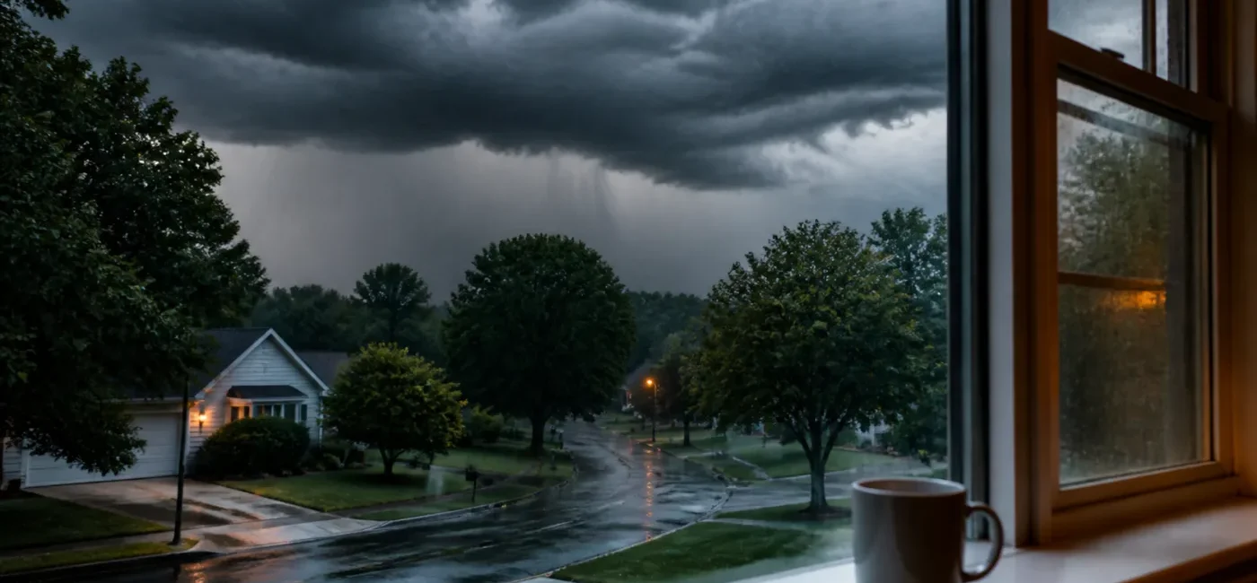
Northeast Severe Storms and Flash Flooding: Philadelphia–New Jersey Safety Guide
Smartor 편집팀
August 27, 2026

Severe thunderstorms and flash flooding are affecting the Philadelphia, New Jersey and Delaware region. On August 27, 2026, the National Weather Service office in Mount Holly issued Severe Thunderstorm Watch 630 through 8 p.m. EDT for Philadelphia and five counties in southeastern Pennsylvania, 16 New Jersey counties, and two Delaware counties. Separate flash flood warnings were also issued for parts of Bucks, Mercer, Somerset, Camden, Gloucester, Salem and New Castle counties.
The key decision is not how hard the rain looks outside. Check whether your exact location is under a watch or warning, when the alert expires, and whether your route crosses a flood-prone road. Water can continue rising after rain briefly eases because runoff is still moving downstream or storm drains cannot keep up. You cannot reliably judge water depth, current or pavement damage from inside a vehicle, so never enter a flooded roadway even when there is no barricade.
A severe thunderstorm watch is more than a map of where rain may fall. It identifies a large area where the atmosphere can support dangerous storms with damaging wind, hail, frequent lightning and very heavy rain. Watch 630 included southeastern Pennsylvania around Philadelphia, New Castle County and Wilmington, and a large part of New Jersey including the Trenton, Camden, Cherry Hill, New Brunswick and Toms River areas.
At 1:17 p.m., NWS issued a flash flood warning through 5:15 p.m. for Mercer County, southwestern Somerset County and southeastern Bucks County. Radar indicated that 1 to 2 inches of rain had fallen, with a rainfall rate of 1 to 2 inches in one hour. The warning included Trenton, Princeton, Bristol, Yardley, Newtown and Langhorne.
At 1:28 p.m., a warning was issued for parts of Camden, Gloucester and Salem counties. NWS cited reports from local law enforcement that flash flooding was already occurring in Logan Township, Mullica Hill and Harrison Township. The bulletin said 2 to 3 inches of rain had fallen and another 1 to 3 inches was possible. At 1:50 p.m., another warning covered northeastern New Castle County and northwestern Salem County, including Wilmington, New Castle, Pennsville, Carneys Point and the Delaware Memorial Bridge area.
Alert boundaries and expiration times can be extended, reduced or replaced as radar, rain gauges and field reports change. These place names document the risk; they are not a permanent all-clear list. A neighboring county can receive a new warning as a storm moves. Even after a warning expires, flooded roads, failed traffic signals, downed trees and energized wires can remain dangerous.
One of the most dangerous flash-flood choices is entering water because the road is familiar. A washed-out shoulder, open drain or damaged pavement can be invisible beneath muddy water. Moving water can quickly take away a vehicle’s traction and steering, and a shallow-looking entrance may lead to a deeper dip. Police and transportation closures take priority over the shortest GPS route.
Homes near creeks, buildings with below-grade garages, poor-drainage neighborhoods and properties with a history of flooding can become unsafe during a short burst of rain. Once water reaches outlets or electrical equipment, entering a basement can create an electrocution hazard. If water may rise, do not wait until the basement is filling to move belongings. Go to a higher safe level or follow an evacuation instruction.
If you can hear thunder, the outdoor location is not safe. Tents, picnic shelters, dugouts, open garages and trees do not provide lightning protection. Move to a substantial building or a hard-topped, enclosed vehicle with the windows closed. Event organizers should identify the shelter, communication lead, head-count method and restart rule before a storm arrives.
A power outage or elevator shutdown can make mobility and medical-device use more difficult. Know how long backup power will operate a device, using the manufacturer’s guidance and the care plan from a medical professional. Utility medical-priority registration does not guarantee immediate restoration. When checking on someone, ask specifically about alert access, indoor location, battery capacity and whether transportation help is needed.
Thunderstorms can interrupt runway operations, ground handling, rail signals and road access. Check more than the departing flight or train. Review the route to the airport or station, the return trip, and the possibility of flooding in parking areas. An airline’s estimated departure time can change repeatedly as weather, crew and aircraft rotations are adjusted.
Read the full alert title. Seeing “Severe Thunderstorm” without noticing whether it says Watch or Warning can lead to the wrong response. Confirm the location, hazard type and valid time together. An alert for a nearby county may not include you, while a new polygon-based warning may cross county lines.
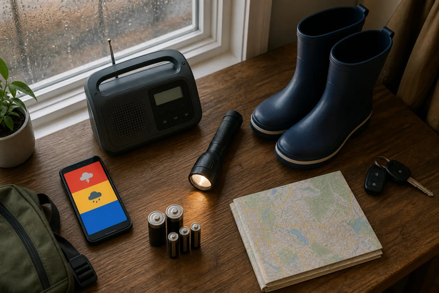
Search the ZIP codes for home, work and school at weather.gov. Make sure Wireless Emergency Alerts and location services are not disabled, then charge the phone. Do not rely on one device; add a battery radio or another communication method. In a family group chat, share the official alert link and expiration time instead of an old radar screenshot.
For severe wind and lightning, move into a sturdy building and stay away from windows. If a tornado warning is added, use a small, windowless interior room on the lowest safe floor and protect your head and neck. But do not apply the “lowest floor” rule to a basement at risk of flooding. During overlapping hazards, choose a windowless interior space above the flood risk or follow local emergency instructions.
Rain that overwhelms the wipers, lanes that disappear, flowing water, flooding at an underpass or other drivers turning around are signals to change the route. If you find water across a road, turn around or wait in a safe parking area on higher ground. Do not enter because a driver behind you is impatient. Use hazard lights when appropriate, but do not stop in a highway travel lane or a low area where water is rising.
If a vehicle begins to become trapped by water, conditions can change in seconds. When it is possible and safe, leave before water gets deeper and move to higher ground, but escape choices depend on the current and surrounding hazards. Call 911 immediately with your location and vehicle details and follow rescue instructions. Never try to walk across a flooded bridge approach or roadway.
Secure planters, folding chairs and trash bins before storms arrive, but do not go outside once thunder is nearby. Charge electronics and place flashlights where they are easy to reach. During lightning, avoid corded phones, showers and plumbing, and equipment connected to electrical outlets. Stay away from windows instead of filming the storm from a porch or balcony.
If power fails, note the time and keep refrigerator and freezer doors closed. A generator must run outdoors at least 20 feet from doors, windows and vents—never in a house, basement or garage. Smartor’s food safety after a power outage guide explains the four-hour and 40°F rules for refrigerated food.
Children should stay away from playgrounds, pools, trampolines and large trees when thunder is audible or a warning is active. Keep pet leashes and carriers nearby and know whether the planned shelter accepts animals. If a school or child-care center is sheltering students, follow its official reunification instructions instead of driving through a warning area without confirmation.
Streams may continue rising after rain fades. Traffic lights can be dark and downed wires can remain energized. Stay away from a fallen wire and from any fence, vehicle or tree touching it; report the location to 911 and the utility. If floodwater entered a building, do not touch breakers or appliances in wet areas until the electrical system has been evaluated.
Photos and reports on social media may provide context, but NWS and public agencies should set the warning boundaries and protective actions. “It is only raining lightly here” and “another car made it through” are not safety evidence. Flash flooding may occur downstream from the heaviest rain, and the road can change within minutes.
A watch does not automatically mean you must take tornado shelter, but it is the time to stop exposed activities and prepare a sturdy building, route and alert method. When a warning includes your location, move inside immediately. If a flash flood warning overlaps, avoid a flood-prone basement and choose a protected space above the water risk.
Yes. Upstream rain, slow drainage and rising streams can produce flooding after local rain weakens. Avoid the warning area until NWS cancels the alert and local officials reopen roads.
No vehicle is a reliable flood gauge. High-clearance vehicles can lose traction in moving water, and drivers cannot see a washed-out road or deep drain. Turn around regardless of vehicle type.
No. Wind can accelerate through the confined space, and stopped vehicles can block the road and cause crashes. Move to a sturdy building when that can be done safely and follow the active warning and local instructions.
If you hear thunder, you are within lightning range. Heavy rain itself can create rapid runoff, falling-tree and drainage hazards. Move to sturdy shelter and follow NWS guidance before resuming outdoor activity.
Evaluate both hazards. Never enter a basement that is taking water or is in an active flash-flood risk area. Use a small windowless interior space above the likely flood level or follow an evacuation order. Decide based on the home’s layout and flood history before storms arrive.
Flashlights and battery lamps are safer because candles add a fire risk. Never operate a generator indoors or in a garage, and confirm that carbon-monoxide alarms have working batteries.
Not necessarily. Settings, network conditions, device compatibility and location error can prevent delivery. Use at least two sources, such as a weather.gov ZIP-code search plus a battery radio or county alert service.
First confirm that the road or transit route to the airport is safe. A flight can remain listed on time until ground operations change. Recheck the airline, airport and official road information immediately before leaving.
If water may have reached outlets, appliances or the electrical panel, stay out of the wet area and get guidance from the utility, local officials or a qualified electrician. Floodwater may be contaminated. Document damage from a safe place for insurance, and do not begin cleanup without suitable protective equipment.
브라우저 메뉴에서 앱 설치 또는 홈 화면에 추가를 선택해 주세요.
[…] Read this safety guide in English → […]