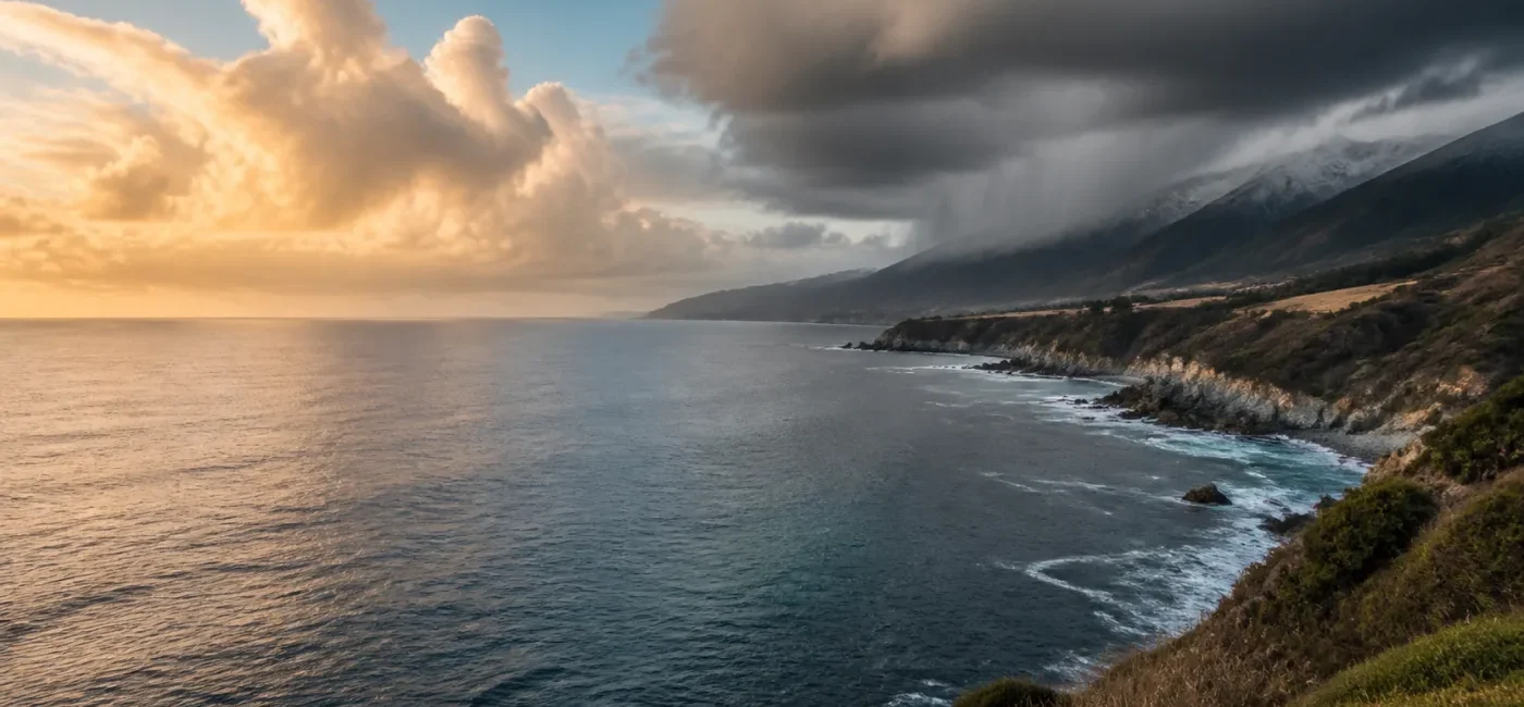
2026–27 El Niño U.S. Winter Outlook: Regional Impacts and Preparedness
Smartor 편집팀
August 22, 2026

NOAA’s Climate Prediction Center says El Niño could become very strong during fall and winter 2026–27. That seasonal outlook does not guarantee record rain, snow, cold, or damage in every U.S. community.
The useful response is not to predict a storm for a particular ZIP code months in advance. It is to separate a seasonal climate signal from a day-to-day weather forecast, then reduce the household, travel, vehicle, and insurance vulnerabilities that become expensive when wet, windy, icy, or disruptive weather arrives. This guide translates the current official outlook into practical U.S. winter preparation. All dates and probabilities were checked on August 22, 2026. Forecasts will change, so return to CPC and your local National Weather Service office before making a weather-sensitive decision.
El Niño develops when the central and eastern equatorial Pacific becomes warmer than average and the atmosphere responds. CPC reported July Niño index values of +1.4°C in Niño-3.4, +1.7°C in Niño-3, and +2.9°C in Niño-1+2. Sea-surface-temperature anomalies exceeded +2.0°C in the eastern equatorial Pacific. Wind, convection, rainfall, and pressure indicators also reflected a strengthening coupled event. That coupling matters: the outlook is based on an interacting ocean and atmosphere, not merely one patch of temporarily warm water.
CPC’s official ENSO outlook synthesizes multiple models from North America and abroad. It indicates that El Niño is likely to strengthen through the end of 2026. The number attracting the most attention is the 69% chance that the three-month relative Oceanic Niño Index, or RONI, will reach +2.5°C or higher during October–December. CPC describes that threshold as a historic event that would exceed previous El Niño strengths in the record dating to 1950.
That 69% figure is not the probability of a historic U.S. winter disaster. It is the probability that a tropical Pacific climate index reaches a historically high category. A stronger event can increase the chance of recognizable El Niño impacts by shifting the jet stream and storm track, but a community’s actual winter also depends on the Arctic Oscillation, Madden-Julian Oscillation, other ocean temperature patterns, snow cover, soil moisture, and ordinary week-to-week atmospheric variability. “Very strong El Niño” and “guaranteed result at my address” are not interchangeable statements.
A seasonal outlook shows the odds that average temperature or total precipitation over a month or three-month period will fall above, near, or below the historical norm. An area favored for above-normal precipitation is not expected to receive rain every day, and the outlook does not identify the date of the biggest storm. A few major systems may raise the seasonal total, or precipitation may arrive in short bursts separated by long dry periods.
A seven-day forecast, watch, or warning is much more directly connected to a decision about a commute, school closure, flight, or evacuation. Use the seasonal signal to repair expensive weaknesses before contractors and supplies are scarce. Use the local forecast and alerts to decide exactly when to cancel a trip, protect pipes, move a vehicle, or leave an at-risk area. CPC updates its long-range products, so an August map should never be treated as a fixed answer for the entire winter.
One common El Niño winter tendency is a more active southern storm track, with wetter and cooler conditions favored across parts of the South. Residents in Southern California, the Southwest, Texas, the Gulf Coast, and Southeast have reason to check heavy-rain vulnerabilities such as poor drainage, low-water crossings, fallen trees, roof leaks, and flash flooding. The signal does not guarantee flooding in every location. It also does not mean that one wet season will erase every long-term drought or water-supply deficit.
Intense rain can produce debris flows near steep terrain and wildfire burn scars, sometimes with little warning. Know whether your home, school, or commute intersects an official evacuation zone, and learn how your county sends alerts. Do not wait until water or mud is moving to drive through a canyon. Homeowners and renters should document existing roof, window, foundation, retaining-wall, and drainage problems. Standard homeowners or renters coverage should not be assumed to cover flood damage; confirm exclusions, separate policies, and waiting periods with the insurer.
A tilt toward a warmer seasonal average in parts of the North does not eliminate cold snaps, heavy snow, freezing rain, lake-effect snow, or wind. A relatively mild winter can still include several dangerous days and damaging ice. Do not reduce preparedness based only on a seasonal temperature color. When a local forecast identifies a freeze or ice threat, shift immediately to pipe protection, heating safety, vehicle readiness, and check-ins with older or medically vulnerable neighbors.
Wetter regions face hydroplaning, potholes, low visibility, and flooded roads. Near the freezing point, a route can transition between rain, sleet, freezing rain, and snow over a short distance. Flights may be disrupted even under clear skies at the departure airport if a connecting hub is affected by wind, thunderstorms, or winter weather. When booking winter travel, compare connection time, change rules, lodging cancellation terms, and alternate transportation. If a trip is disrupted, Smartor’s flight delay and cancellation checklist explains the rebooking and refund sequence.
Losses often begin with an ordinary weakness rather than an extraordinary storm: a blocked gutter, a failed sump pump, an old wiper blade, an empty power bank, business files without an off-site backup, or belongings with no inventory photos. Renters may not be able to repair the roof or exterior drainage, but they can photograph leaks, notify the property manager in writing, elevate personal items, and verify how renters insurance treats water damage and temporary housing.
Smartor’s basement flood-prevention checklist provides a more detailed drainage and sump-pump sequence. Do not take on unsafe roof, ladder, electrical, or standing-water work without appropriate help.
Turn on each flashlight, check battery dates, and charge portable power banks. Keep a car charger, battery or hand-crank radio, drinking water, ready-to-eat food, warm layers, essential medication, and basic first aid where household members can reach them. Test smoke and carbon-monoxide alarms. A portable generator must operate outdoors, well away from doors, windows, and vents, exactly as the manufacturer instructs. Never run it in a house or garage and never improvise a connection to home wiring.
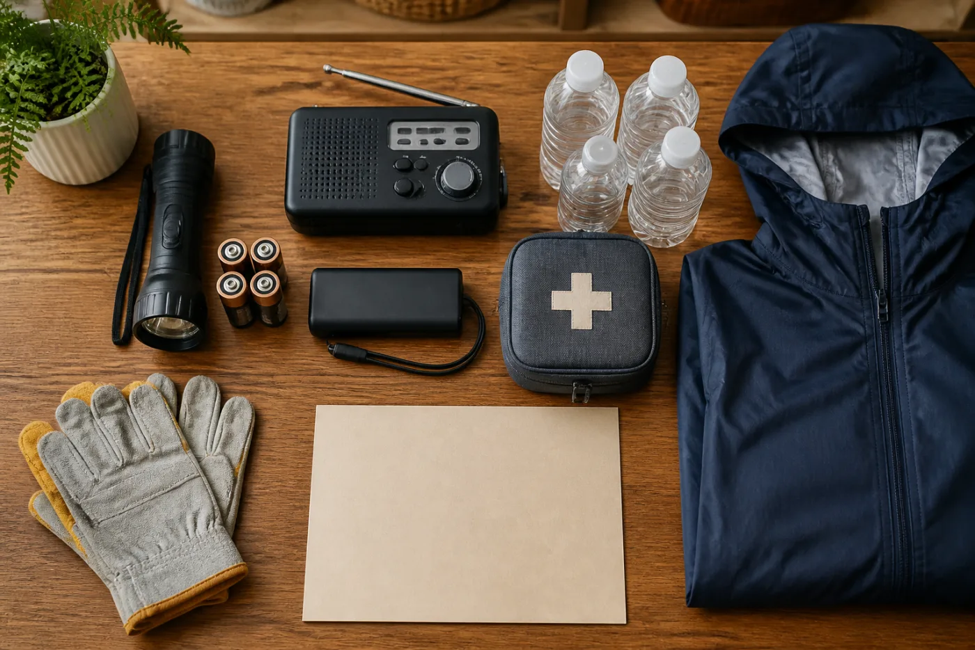
If someone relies on powered medical equipment, contact the medical provider and electric utility before severe weather to discuss backup power, registration programs, and a safe relocation plan. A utility registry may improve communication, but it should never be treated as a guarantee that power will remain on or be restored first.
Inspect tire pressure and tread, wipers, washer fluid, battery, brakes, headlights, and hazard lights. Learn local tire or chain requirements, and practice installation before a storm if chains are appropriate. Carry a charging cable, flashlight, water, food, blanket, gloves, small shovel, and first-aid supplies. Never drive around a flood barricade. Road depth, washouts, and current cannot be judged reliably from the driver’s seat.
Photograph or record each room and valuable item. Capture model and serial numbers and store receipts in a secure cloud account plus a separate offline location. Review deductibles, water-damage language, sewer backup, temporary living expenses, vehicle comprehensive coverage, and flood exclusions. A separate flood policy may have a waiting period, so the first heavy-rain forecast is a poor time to begin asking. Smartor’s home inventory guide shows how to organize the record without exposing personal data.
Select an out-of-area contact in case local networks are congested. Save school, workplace, care-facility, and utility closure procedures. Put pet carriers, medications, identification copies, insurance details, charging cables, and weather-appropriate clothing where they can be collected quickly. Decide in advance which official message will trigger action. A mandatory evacuation order, flash-flood warning, debris-flow warning, or rapidly rising river may make waiting more dangerous, not more informed.
Begin with free work: enable alerts, photograph property, save contacts, inspect drainage, test flashlights, and read policies. Then spend on failures that are both likely and costly. A nonworking sump pump in a repeatedly wet basement may deserve priority over decorative “disaster” products. Conversely, expensive snow-removal equipment promoted nationally may be a poor fit in a southern location where the primary concern is heavy rain and outages.
No. CPC’s historic-strength probability refers to an ENSO index in the tropical Pacific. It is not a forecast that national cold, snow, rain, or losses will be the worst on record.
No. It can increase the odds of a wetter pattern, but the location and timing of damaging storms depend on individual weather systems. Improve drainage and confirm insurance now; use local NWS and emergency alerts for travel or evacuation decisions.
No. A warmer seasonal average can contain severe cold snaps, ice storms, or heavy snow. An average signal does not remove short-duration extremes.
First evaluate outage history, medical needs, heating type, housing rules, and budget. If buying one, plan for safe outdoor placement, fuel storage, carbon-monoxide protection, and a code-compliant electrical connection. Do not connect a generator to household wiring with an improvised cable.
An app can be helpful, but location or alert settings may be wrong. Use weather.gov, Wireless Emergency Alerts, local emergency management, and utility alerts together. A battery radio gives you another path during power or cellular failure.
Review CPC’s monthly ENSO discussion and the issue dates on monthly and three-month outlooks. Shift to the local seven-day forecast and Watch or Warning messages when scheduling travel or taking storm-specific action.
In general, a Watch means hazardous weather is possible and preparation should accelerate. A Warning means the hazard is occurring or imminent and immediate protective action may be needed. Read the exact local NWS message because instructions vary by hazard.
Photograph leaks, mold, drainage issues, and existing damage; notify management in writing; elevate belongings; and review renters coverage for water damage and temporary housing. Do not modify shared roofing, electrical, plumbing, or drainage systems on your own.
Smartor Editorial Team · Last verified August 22, 2026 at 6:00 a.m. EDT. Forecasts and alerts can change.
브라우저 메뉴에서 앱 설치 또는 홈 화면에 추가를 선택해 주세요.