Central Plains Heat and Thunderstorms: September 15 Safety Checklist
Smartor 편집팀
September 15, 2026

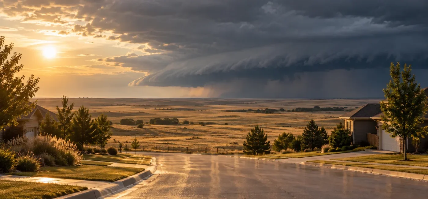
Parts of the central United States face two different hazards on September 15, 2026: dangerous afternoon heat followed by the possibility of strong thunderstorms later in the day. The National Weather Service issued Heat Advisories for parts of Oklahoma and southeast Kansas where heat index values could reach 105 to 106°F. Coastal portions of the Houston-Galveston area were advised that the heat index could reach 109°F. The Storm Prediction Center also outlined a Marginal Risk of severe thunderstorms from the south-central Plains into parts of the Midwest, with isolated damaging wind gusts the primary concern.
The important point is that relief from the heat does not necessarily mean the danger is over. During the day, the priority is preventing heat illness and vehicle heatstroke. As a cold front approaches later in the afternoon and evening, the focus may quickly shift to strong wind, lightning, locally heavy rain, power outages, and hazardous driving. Locations, timing, and alert details can change, so check your ZIP code or current location immediately before traveling or starting outdoor work.
This article provides general U.S. weather-safety information. Local emergency alerts, evacuation orders, employer safety rules, and instructions from public officials take priority. If someone becomes confused, loses consciousness, or shows other signs of heat stroke, call 911 immediately.
Warm, humid air across the south-central Plains is expected to push the apparent temperature to dangerous levels despite the mid-September date. A Heat Advisory is more than a notice that the day will feel uncomfortable. It means heat and humidity could create conditions capable of causing heat exhaustion or heat stroke, especially during prolonged outdoor activity, in poorly ventilated workplaces, inside parked vehicles, and in homes without reliable air conditioning.
In Oklahoma, the advisory included Woods, Alfalfa, Grant, Kay, Major, Garfield, Noble, Kingfisher, Logan, Payne, Lincoln, and Seminole counties, where heat index values up to 106°F were expected from noon through 7 p.m. CDT. Pawnee and western Osage counties were advised of values up to 105°F. In Kansas, Neosho, Chautauqua, Montgomery, and Labette counties could see values up to 106°F from 1 to 7 p.m. CDT. Inland Galveston, coastal Harris, and coastal Galveston counties in Texas were advised of heat index values up to 109°F. Conditions near an advisory boundary can still be hazardous, so do not treat the map line as a wall between dangerous and safe weather.
At the same time, a cold front moving through the central Plains and Midwest is expected to encounter a warm and increasingly unstable air mass. In its 0600 UTC Day 1 outlook, the Storm Prediction Center anticipated scattered storm development from the Texas Panhandle into parts of the Midwest. Strong heating, moisture, and storm outflow could support localized downbursts and clusters capable of producing damaging winds. The SPC also noted that small to near-severe hail could occur in the strongest cells.
A Marginal Risk does not mean “no risk.” It indicates that severe storms should be isolated rather than widespread, but a storm that becomes severe can still damage trees, roofs, vehicles, and power lines where it occurs. Morning cloud boundaries, localized humidity, and the exact position of the front may cause later outlooks to shift. Check again before lunch, before the evening commute, and immediately before any outdoor event rather than relying on a forecast viewed early in the morning.
A Heat Advisory addresses the expected health risk from high temperatures and humidity. The SPC convective outlook is a broad, advance assessment of where organized severe thunderstorms may develop. An NWS watch means conditions are favorable and people should be ready to act. A warning means dangerous weather has been detected or is imminent and immediate protective action is needed. Outlooks, advisories, watches, and warnings serve different purposes; one does not replace the others.
Outdoor workers, delivery drivers, construction crews, landscapers, and farm workers may be exposed to both hazards. Heavy work during the hottest hours can raise body temperature and impair judgment. When thunderstorms approach, ladders, metal equipment, exposed fields, roofs, and elevated work platforms increase the danger from lightning and sudden wind. Employers should provide water, rest, shade or air conditioning, and additional time for workers who are not acclimated to the heat.
Older adults, infants, pregnant people, people with chronic medical conditions, and people taking certain medications may have greater difficulty regulating body temperature. Check whether relatives and neighbors who live alone can actually use their air conditioning. A working unit is not enough if a power outage interrupts it, so identify an accessible cooling center, library, or family member’s home as a backup.
Students and caregivers should compare dismissal, practice, and school-bus waiting times with the peak heat and storm window. A school event remaining on the schedule does not guarantee that every family’s route is safe. If thunder is heard, leave open fields, bleachers, dugouts, and isolated trees for a substantial building or a fully enclosed hard-topped vehicle.
Drivers and airline passengers may encounter sudden crosswinds, blowing dust, intense rain, poor visibility, downed branches, and dark traffic signals. Water over a roadway can hide washed-out pavement, and its depth is especially difficult to judge after dark. Turn around rather than driving through a flooded road. Airline passengers should check both the airline app and official airport flight information before leaving home.
Pet owners should move walks away from the hottest part of the day and test pavement temperature with the back of a hand. A parked vehicle is not safe even with a window cracked. Never leave a child, a disabled person, or a pet in a parked car, even for a short errand.
Confirm that Wireless Emergency Alerts are enabled on iPhone or Android and that emergency notifications are allowed through any focus or do-not-disturb mode. Add home, work, and school locations to a trusted weather app. Then verify conditions at weather.gov using a city or ZIP code; an app should supplement the official local forecast, not replace it.
Move strenuous work and exercise to the early morning or later evening when possible. If work cannot be postponed, take short, frequent breaks in air conditioning or shade. Drink water regularly rather than waiting for intense thirst. Anyone instructed by a clinician to limit fluids because of a heart, kidney, or other condition should follow that individualized guidance. Avoid alcohol before and during heat exposure because it can worsen dehydration and judgment.
Wear lightweight, loose-fitting clothing, a hat, and sunscreen, but do not assume clothing alone prevents heat illness. Use a buddy system during outdoor work. A coworker who becomes unusually irritable, confused, uncoordinated, or quiet may be experiencing dangerous heat stress even if that person insists on continuing.
Heavy sweating, cool and clammy skin, dizziness, nausea, headache, weakness, and cramps may indicate heat exhaustion. Move the person to a cool place, loosen clothing, apply wet cloths and moving air, and offer small sips of water only if the person is fully alert and able to swallow. Confusion, slurred speech, collapse, seizures, or very hot skin can signal heat stroke. Call 911 and begin rapid cooling with cold water, wet towels, and ice packs around the neck, armpits, and groin while waiting for help. Do not force fluids on someone whose awareness is impaired.
Complete errands, dog walks, and outdoor work before the expected storm window. At a campground, lake, golf course, sports field, or festival, waiting until rain begins may leave too little time to reach a substantial shelter. If you can hear thunder, lightning is close enough to strike. Remain inside for at least 30 minutes after the last thunder is heard.
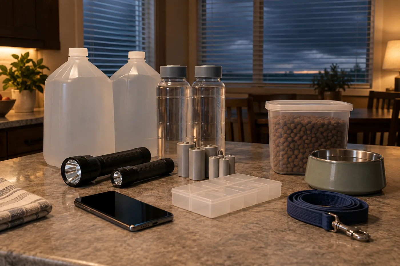
Before storms arrive, move vehicles away from large trees, loose signs, construction barriers, power lines, and low spots that collect water. Bring in or secure patio chairs, planters, grill covers, umbrellas, and toys. Do not go outside to retrieve property after wind and lightning begin. Close windows and doors, and move away from windows into an interior room if a severe thunderstorm warning is issued.
Charge phones, battery packs, rechargeable lights, and backup power for medical equipment. Put flashlights and spare batteries in an easy-to-find location. Keep refrigerator and freezer doors closed as much as possible during an outage. If anyone relies on oxygen equipment, refrigerated medication, or another powered medical device, check the utility’s medical-priority program and identify a backup location before the weather deteriorates.
Never operate a portable generator inside a house, basement, garage, enclosed porch, or near an open door or window. Place it outdoors at least 20 feet from doors, windows, and vents, with exhaust directed away from the home. Confirm that carbon monoxide alarms are working. Do not improvise a connection between a generator and household wiring, and never handle electrical equipment with wet hands or while standing in water.
Sudden crosswinds are especially dangerous for trailers, RVs, box trucks, and other high-profile vehicles. Keep both hands on the wheel and increase following distance around large vehicles. If rain eliminates visibility, leave the travel lane and stop in a safe location away from trees and power lines. Obey barricades and road-closure signs. Do not walk into floodwater to test its depth; moving water, debris, and hidden electrical hazards can injure or trap you.
1. Local NWS forecast: Enter a city or ZIP code at weather.gov. Open any alert banner and review the affected counties, start and end times, expected heat index, hazards, and recommended actions.
2. Active alert map: Use NWS Alerts to see current advisories, watches, and warnings. An alert may be extended, replaced, or canceled early, so check the issue and expiration times in the live source rather than an image copied elsewhere.
3. SPC outlook: Review the latest SPC Day 1 Convective Outlook. If your location is inside the Marginal Risk area, open the local forecast to see whether damaging wind, hail, flooding, or another hazard is emphasized for your county.
4. Utility outage source: Save the outage map and reporting number printed on your utility bill or published on the utility’s official domain. Avoid sponsored search results and unexpected text-message links. If traffic signals are dark, approach the intersection slowly and follow state and local rules for an all-way stop.
Do not base the decision on the category alone. Marginal Risk means isolated severe storms are possible, and dangerous lightning or localized flooding can occur even when a storm does not meet severe criteria. Event organizers should establish a trigger for suspension based on local warnings, thunder, radar trends, shelter capacity, and the time needed to move everyone.
The posted expiration time does not guarantee immediate relief. Humidity and heat stored in buildings and pavement may keep heat stress elevated, and thunderstorms may be more likely around the same time. Check the current heat index and lightning risk, reduce intensity, or move the activity indoors.
No. Lightning can strike outside the rain shaft. Enter a substantial building or a fully enclosed hard-topped vehicle as soon as thunder is heard. Pavilions, tents, dugouts, and isolated trees are not safe lightning shelters.
A fully enclosed, hard-topped vehicle is generally safer than remaining outdoors. Protection comes mainly from the metal body conducting current around the occupants, not from rubber tires. Convertibles, golf carts, and open vehicles do not offer the same protection. Close the windows and avoid touching metal parts or connected charging cables.
Fans may not provide enough cooling when indoor temperatures become very high. Close blinds, limit heat-producing appliances, and move early to a public cooling center, library, mall, or an air-conditioned home. Do not wait until a storm is approaching to find transportation. Verify the cooling center’s hours and accessibility with your city or county.
If the person is fully alert, is not vomiting, and can swallow safely, small sips of water or an appropriate beverage may help. If there is confusion, reduced consciousness, a seizure, or another sign of heat stroke, do not force fluids. Call 911 and begin cooling immediately. People with diabetes, heart or kidney disease, or prescribed fluid limits should follow their medical guidance.
No. Alert delivery can be delayed, and a localized gust below the formal severe threshold can still break branches and move unsecured objects. If the sky darkens rapidly, a cool outflow wind arrives, or thunder is heard, go inside and check the latest official alert.
No. A screenshot may be old or may omit its timestamp and location. Use the original NWS alert to confirm the issue time, expiration time, affected counties, and protective instructions. Official local emergency-management and broadcast channels can provide useful supplemental information.
A practical plan for this day has two stages. First, reduce heat exposure, secure cooling, and check on vulnerable people. Before late afternoon, finish charging devices, secure outdoor property, and move vehicles. Once thunder is heard or a warning is issued, stop planning and move immediately into a substantial building.
브라우저 메뉴에서 앱 설치 또는 홈 화면에 추가를 선택해 주세요.
[…] 편집팀 September 15, 2026 Read this weather safety guide in English → 미국 중부 일부는 9월 15일 낮의 위험한 더위에 이어 늦은 오후와 저녁에 […]