Washington DC Severe Thunderstorm Watch: Safety and Travel Guide
Smartor 편집팀
September 2, 2026

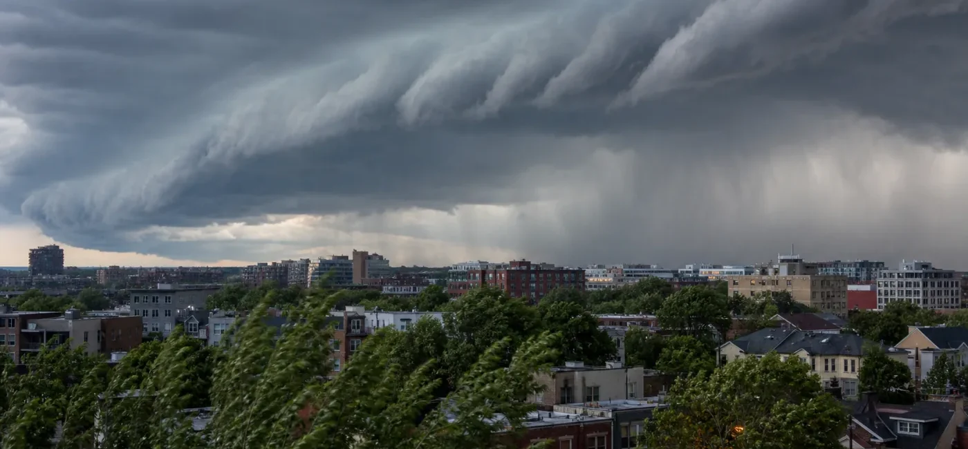
A broad section of the Washington, D.C. region is under an elevated risk of severe thunderstorms. The National Weather Service Baltimore/Washington forecast office issued a Severe Thunderstorm Watch at 11:46 a.m. EDT on September 2, 2026, covering the District, 15 Maryland counties, and a large part of Northern Virginia. The watch was initially scheduled to remain in effect until 5 p.m. EDT. A watch does not mean every neighborhood will be hit. It means conditions are favorable for dangerous thunderstorms to develop and residents should be ready to act quickly if a warning is issued.
The immediate steps are straightforward: move outdoor plans inside, enable emergency alerts, identify a room away from windows, charge essential devices, and never drive onto a flooded road. If a Severe Thunderstorm Warning replaces the watch for your location—or if you can hear thunder—go into a substantial building without waiting to see heavy rain. This guide is designed for residents, commuters, visitors, schools, and businesses across D.C., Arlington, Alexandria, Fairfax, Loudoun, Prince William, Montgomery, Prince George’s, Howard, Anne Arundel, Baltimore, and surrounding communities.
The original watch included all of the District of Columbia. In Maryland, it covered Anne Arundel, Howard, Montgomery, Prince George’s, Carroll, Frederick, Washington, Cecil, Baltimore County, Baltimore City, Harford, Calvert, Charles, St. Mary’s, and Allegany. In Virginia, the listed areas included Arlington, Fairfax, Loudoun, Prince William, Stafford, Fauquier, Culpeper, Alexandria, the City of Fairfax, Falls Church, Manassas, and other nearby jurisdictions. The geographic scope matters because the same storm line can affect multiple commuting corridors and transit systems even when rainfall at one address is still light.
“Severe” is not simply an informal description of heavy rain. The NWS uses severe-thunderstorm alerts when storms meet or are expected to meet defined hazards such as damaging winds or large hail. Lightning is dangerous in every thunderstorm, including storms that do not meet severe wind or hail criteria. Conditions can also vary sharply over a short distance. A neighborhood outside the watch boundary should still move indoors if thunder is audible or a warning arrives.
A watch normally covers a larger area and several hours. A warning is smaller and more specific, often represented by a polygon that follows the storm’s projected path. Seeing no rain during the first part of a watch is not evidence that the danger has passed. Thunderstorm cells can intensify quickly, merge, or change speed. At the same time, a watch does not guarantee damage at every address. Its practical purpose is to give people time to make decisions before a warning leaves only minutes to move.
The afternoon commute can compound the risk. Torrential rain can abruptly reduce visibility and collect in poor-drainage locations. Gusts can bring down branches or move unsecured outdoor objects. Traffic signals may go dark during an outage, while rail, bus, and airline operations may slow because of debris, lightning procedures, signal issues, or crew safety. Check conditions once while planning and again immediately before leaving; a two-hour-old radar screenshot is not enough.
Outdoor workers and event participants should adjust plans early. Construction sites, landscaping jobs, delivery routes, athletic fields, pools, golf courses, festivals, and outdoor dining areas expose people to lightning and gusts. Waiting for rain to begin can create a crowded, rushed evacuation. Supervisors should identify who can halt work, which substantial building will be used, how people will be accounted for, and who authorizes a return. An open pavilion or fabric tent is not a lightning-safe shelter.
Schools, child-care programs, and caregivers should verify dismissal, after-school, and bus notices. An uncoordinated pickup can conflict with a school’s shelter or reunification process, so use the school’s official channel. Give children a simple rule: follow staff instructions, do not remain on a field or under a tree, and never cross a flooded path.
Drivers and transit riders should allow extra time and preserve options. Sudden low visibility and standing water on I-95, I-66, I-270, and the Capital Beltway can trigger chain braking. Metro, MARC, VRE, and bus riders should check their operator’s official app or site for delays. If lightning is nearby while you are at an exposed stop or platform, follow staff instructions and move to an enclosed area when possible.
Residents in basements or low-lying properties should inspect drains, sump pumps, and below-grade entrances. Move records and electronics off the floor before rain arrives. Do not enter a flooding basement to handle electrical equipment. If water is approaching outlets or the service panel, disconnect power only when that can be done from a dry, safe location. Otherwise, leave and contact 911 or the utility.
People who use powered medical equipment, older adults, and residents with disabilities may need more lead time. Confirm battery capacity, oxygen supplier information, a plan for refrigerated medications, and the location of mobility aids. High-rise residents who depend on an elevator should complete necessary travel during the watch rather than waiting for a warning or outage. Decide who will check in if phone service is disrupted.
Pet owners should move walks earlier and keep leashes, carriers, medications, and water nearby. Frightened animals can bolt through an open door, so verify that tag and microchip contact details are current. Do not leave an animal in a yard, on a balcony, or in a parked car during the storm.
Check that emergency alerts and location services are enabled on each household phone, then enter your address at weather.gov. Do not depend on one person’s device. A phone can be muted, lose service, or run out of power, so add a second source such as NOAA Weather Radio, local broadcast coverage, a building notification system, or an official county alert. At work, enable notices from security or facilities staff.
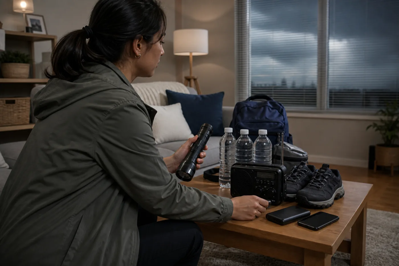
If you have a basement, select an interior area that is not vulnerable to flooding. Without a basement, use a windowless hallway, bathroom, or closet on the lowest safe floor. In a high-rise, move away from windows and glass doors into an interior corridor or designated shelter area. Make sure everyone knows the location. Keep shoes, phones, and a flashlight close enough to grab without crossing a room full of windows.
Bring in or secure balcony planters, folding chairs, toys, tools, and trash containers that could become airborne. Do not climb onto a roof or ladder for a last-minute repair. Clear leaves near a drain only when you can do so safely from dry ground. Once water is moving rapidly, stay away. Report common-area drainage problems to building management.
Charge phones and power banks and write critical phone numbers on paper. Surge protection reduces some electrical risks but cannot guarantee protection from a nearby lightning strike. Before the storm reaches you, unplug nonessential sensitive electronics if it is safe. Do not handle plugs or a service panel with wet hands while the storm is overhead. Use flashlights or battery lanterns instead of candles to reduce fire risk.
If the storm line may intersect your route, delay departure or remain in a safe building until it passes. Before driving, check active alerts, road closures, and transit notices—not only a radar image. If a phone alert sounds while you are moving, do not read it in your hand. Pull over completely in a safe location. The shoulder under an overpass is not a good shelter: it adds crash risk and can funnel wind.
You do not need to see a nearby lightning strike to be in danger. Audible thunder means lightning may be close enough to harm people outdoors. FEMA advises moving into a substantial building or a hard-top vehicle. Indoors, stay away from windows and limit contact with plumbing, corded electrical equipment, and conductive surfaces. A widely used conservative rule is to wait at least 30 minutes after the last thunder before resuming outdoor activity.
FEMA warns that about six inches of fast-moving water can knock a person down and about one foot of moving water can carry away a vehicle. Even apparently shallow water can hide a washed-out road or an open manhole. Another vehicle’s successful crossing is not proof that yours is safe. Follow the “Turn Around, Don’t Drown” rule, obey barricades, and call 911 if rising water traps your vehicle.
Use your utility’s outage map to report the outage and review restoration information. Operate generators only outdoors, well away from buildings and open windows—never in a garage, basement, or balcony enclosure. Food safety needs its own timeline. If the outage continues, Smartor’s food safety after a power outage guide explains the four-hour and 40°F checkpoints.
A Severe Thunderstorm Watch is a preparation message. Adjust errands, dog walks, practices, outdoor work, and commuting plans. Find your shelter and activate alerts. The area can be large, and a storm will not necessarily cross every point.
A Severe Thunderstorm Warning is an action message. A dangerous storm has been observed or detected by radar. If your location is inside the warning polygon, move to a substantial building and an interior room immediately. Use the polygon rather than a county name when you can, but never delay shelter while trying to interpret a map.
A Flash Flood Warning may require a different vertical decision. An interior space on the lowest floor is useful for high wind, but a building taking on floodwater may require movement to a higher floor. When hazards overlap, get away from rising water first while remaining in an interior space away from windows.
A Wireless Emergency Alert may be delivered through nearby cell towers to compatible phones in the danger area. Not every watch triggers a phone alert, and delivery can vary with settings and network conditions. The absence of a phone sound is not an all-clear. Check weather.gov directly.
Alert text can change repeatedly as storms develop. A new warning can follow after the stated watch expiration, while some parts of the watch may be canceled early after the risk passes. Give priority to the newest issue time and status on the NWS source rather than the timestamp of any article or social post.
No. A watch is the time to prepare rather than remain in shelter continuously. Keep alerts on, select the safest room, and be ready to stop outdoor activity. Move into shelter immediately if a warning covers your location or you hear thunder.
Choose an interior hallway, a windowless bathroom or closet, or the building’s designated shelter area. Move away from windows and exterior glass. Because an outage can disable elevators, do not rely on repeated elevator trips once the storm is close.
A fully enclosed hard-top vehicle is safer than remaining outdoors or under an open shelter, but a substantial building is preferable. Close the windows and minimize contact with components connected to the metal body. Convertibles, golf carts, motorcycles, and bicycles are not safe lightning shelters.
An isolated tree can be struck by lightning, and strong wind can break limbs or overturn the tree. Move away from trees, utility poles, and metal fencing and enter a substantial building or enclosed vehicle.
No. Alert delivery may lag, and not every lightning threat produces an individual phone warning. Audible thunder is a direct reason to go indoors. Wait until the storm has clearly moved away before returning outside.
A watch alone does not cause a universal cancellation. Operations can still be delayed or suspended because of lightning procedures, debris, power, signals, or crew safety. Check the airline and airport for a flight, and the relevant transit operator for rail or bus service.
An expiration time applies to that alert, not as a guarantee that all hazards have ended. Check for a replacement warning, listen for thunder, and look for secondary hazards such as flooded streets, fallen trees, and downed power lines.
Follow local law and police directions. In general, approach a completely dark signal slowly, stop, and proceed in turn as at an all-way stop. Do not enter if water covers the intersection or if a power line is down; turn around instead.
The Smartor Editorial Team organizes official public-safety information into practical steps. Weather conditions can change quickly; use the newest NWS and local-authority alert when making travel and shelter decisions.
브라우저 메뉴에서 앱 설치 또는 홈 화면에 추가를 선택해 주세요.