
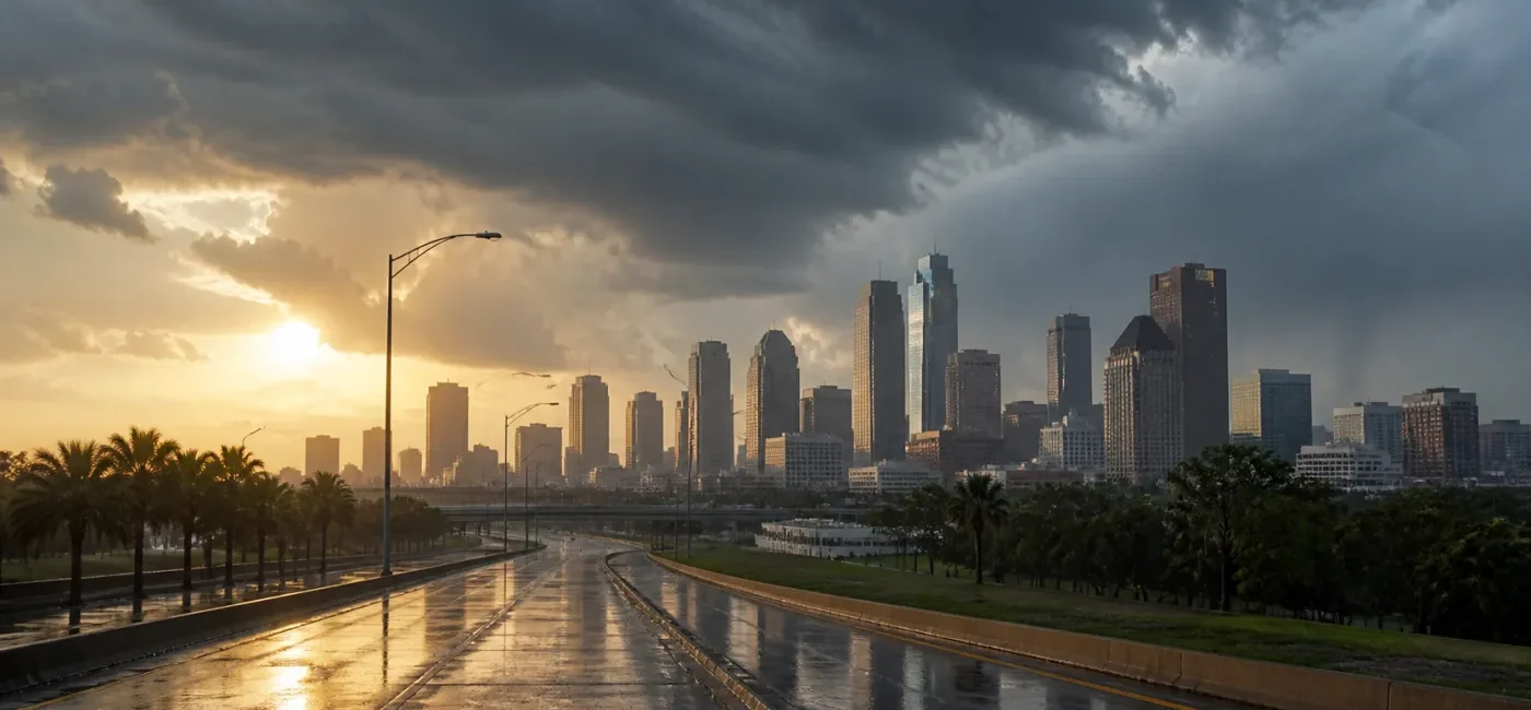
Houston, Galveston and the rest of Southeast Texas face another hot, humid Friday with scattered showers and thunderstorms possible on August 28. The National Weather Service Houston/Galveston office expects inland highs generally from 96 to 100°F, beach temperatures from 89 to 94°F, and heat index values that may reach 102 to 108°F in parts of the forecast area. Storm activity may favor locations south of I-10, although early-morning observations also reported thunder or lightning around Houston Intercontinental Airport, Spring and the Texas Medical Center.
This is not a day to reduce the forecast to one question—“Will it rain?” During dry periods, heat stress can build quickly. When a shower develops, lightning, reduced visibility and localized ponding can change a travel plan in minutes. At the same time, the NWS grid forecast for a point in central Houston called for a high near 95°F, a heat index up to 101°F and about a 20% chance of thunderstorms. The difference between an area-wide outlook and a ZIP-code forecast is not a contradiction; it is a reminder that Gulf Coast summer showers are highly localized.
Key takeaways
- Plan for heat and thunderstorms at the same time. Carry water and identify an air-conditioned break location, but also know where you will go if thunder starts and which route avoids low-lying roads.
- Separate the regional outlook from your exact location. The NWS office highlights heat index values of 102 to 108°F in parts of inland Southeast Texas, while the central Houston grid forecast shows a high of 95°F and a peak heat index near 101°F. Use the latest forecast and alerts for where you actually are.
- Do not mistake an alert elsewhere in Texas for a Houston alert. At 6 a.m. Eastern time, the NWS active-alert feed showed an air-quality alert for several North Texas counties but no broad severe-thunderstorm warning for Houston. Alerts can change quickly, so check again before leaving.
- If you hear thunder, go inside. A pavilion, tent, bus shelter or tree is not lightning protection. Choose a substantial building or a hard-topped metal vehicle with the windows closed.
- Slow down on wet roads and turn around at standing water. A brief downpour can change conditions on Houston underpasses and low streets. Police closures and Houston TranStar information take priority over a navigation app.
What is happening?
The Friday outlook from NWS Houston/Galveston says hot and humid conditions will continue, with scattered showers and thunderstorms and activity primarily concentrated south of I-10. Winds are expected to be light and variable, generally 4 to 8 mph. Inland highs are forecast at 96 to 100°F, with beach temperatures of 89 to 94°F and heat index values of 102 to 108°F in parts of the area. That does not mean every neighborhood will reach the same temperature or receive rain at the same time. It describes a broad Southeast Texas forecast zone in which dangerous heat and localized convection can occur together.
The NWS HGX grid forecast for central Houston provides a more specific point forecast. Generated on the morning of August 28, it projected a Friday high near 95°F, a peak heat index near 101°F and a 20% chance of showers and thunderstorms, with new rainfall below one-tenth of an inch. A 20% storm chance remains early Friday evening before skies become mostly clear. Saturday brings another high near 95°F and roughly a 20% chance of afternoon showers and thunderstorms.
A 20% probability does not mean rain will fall for 20% of the day, nor does it mean exactly 20% of Houston residents will get wet. It is the probability of measurable precipitation at the forecast point during the specified period. A summer shower can produce heavy rain and lightning in one neighborhood while a location several miles away stays dry. Treating a low probability as a guarantee of safety is a mistake; treating it as an all-day regional washout is also inaccurate.
Early-morning observations illustrate that variability. On the NWS office page, observations around 4 a.m. showed thunder and lightning at Houston Intercontinental Airport and thunder in the vicinity of Spring and the Texas Medical Center. Sugar Land, Pearland and Galveston reported clearer or quieter conditions around the same period. Looking out one window is not enough to plan an entire day. Radar, current observations and the hourly forecast should be checked together.
Who is most affected?
Outdoor workers and delivery, construction or landscaping crews
High humidity reduces the body’s ability to cool itself through evaporation. Heat stress can develop even when clouds limit direct sunshine. Workers should drink water on a schedule rather than waiting for severe thirst and should rotate through shaded or air-conditioned breaks. New workers, people returning after time away from hot conditions and anyone wearing heavy protective equipment may not be acclimatized, so their workload should increase gradually.
Every outdoor crew also needs a thunder stop-work rule. Metal ladders, roofs, cranes, open fields, pools, shorelines and trees are unsafe when lightning is nearby. Once thunder is heard, workers should move to a substantial building or safe vehicle. A supervisor should know how to account for everyone and when work may resume.
Children, older adults, pregnant people and people with chronic conditions
The NWS identifies infants and young children, older adults, pregnant people and those with chronic medical conditions as groups that can be especially vulnerable to heat. Risk rises when air conditioning is limited, a person lives alone or mobility is difficult. Instead of asking only whether someone is “okay,” check the indoor temperature, water supply, medication needs, air-conditioning status, nearest cooling location and transportation plan.
Never leave a child, disabled person or pet in a parked vehicle, even for a short errand. Cracking the windows does not prevent a dangerous temperature rise. Keep parked vehicles locked at home so a child cannot climb inside unnoticed, and make a back-seat check part of every exit routine.
Commuters, airport travelers and port workers
A short shower can bring rainfall intense enough to overwhelm wipers, produce hydroplaning, create gusty winds and delay a trip. Major corridors such as I-10, I-45 and US-59/I-69 may remain open while a feeder road or low local street has hazardous water. Air travelers should check not only the flight but also airport access roads, parking and the return trip.
Households that rely on electricity
Localized thunderstorms can damage trees or power lines. Families using oxygen equipment, refrigerated medication or powered mobility devices should know how long backup batteries last and where another source of power is available. Medical-priority registration with a utility does not guarantee immediate restoration, so a practical backup plan should be discussed with family, clinicians and the equipment manufacturer.
What to do now
1. Check separate forecasts for home, work and school
Start with the NWS Houston/Galveston regional briefing, then enter the ZIP code for your current location at weather.gov. If home and work are in different counties or your trip crosses I-10, one point forecast is not enough. Review current alerts, the hourly precipitation probability, the heat index and radar in that order.
2. Adjust the day around the heat
Move the hardest outdoor tasks to early morning or evening when possible, and increase break frequency from midday through late afternoon. Wear loose, lightweight, light-colored clothing and a brimmed hat, and drink water regularly. Anyone whose clinician has restricted fluids or sodium should follow individual medical guidance instead of generic sports-drink advice.
Headache, dizziness, nausea, heavy sweating, unusual fatigue and muscle cramps can signal heat exhaustion. Move the person to a cooler place, loosen clothing and begin cooling. Confusion, loss of consciousness, seizures or very hot skin may indicate heat stroke, which is an emergency. Call 911 and cool the person aggressively, but do not force fluids on someone whose awareness is impaired.
3. Stop the activity and go inside when thunder begins
You can be within lightning range even if rain is light or the sky directly overhead looks bright. Enter a substantial building or a hard-topped metal vehicle with the windows closed. A porch, carport, picnic shelter, baseball dugout, tent or tree is not a safe shelter. Indoors, stay away from windows and doors and avoid corded phones, showers and other plumbing contact during the storm.
The NWS recommends waiting at least 30 minutes after the last thunder before resuming outdoor activity. Event organizers and sports teams should record the time of the last thunder instead of restarting as soon as rain stops. Parents should follow a school or camp’s official shelter plan rather than driving through dangerous conditions in a rush to pick up a child.
4. Do not underestimate poor visibility or ponding while driving
Before leaving, check the Houston TranStar traffic map for crashes, closures and high-water locations. Turn on headlights, increase following distance and avoid sudden steering, acceleration or braking. If water is moving across a lane or its depth is unknown, turn around regardless of vehicle type. The absence of a barricade is not proof that the road is safe.
If wipers on their highest setting cannot provide a clear view of lane markings, leave the roadway for a safe, well-drained parking area. Do not stop in a freeway travel lane, on a bridge, under a large tree or at the entrance to a low underpass. Before a trip that could involve delays, confirm that the vehicle has adequate fuel or charge, working air conditioning and drinking water.
5. Prepare for a short power or communications outage
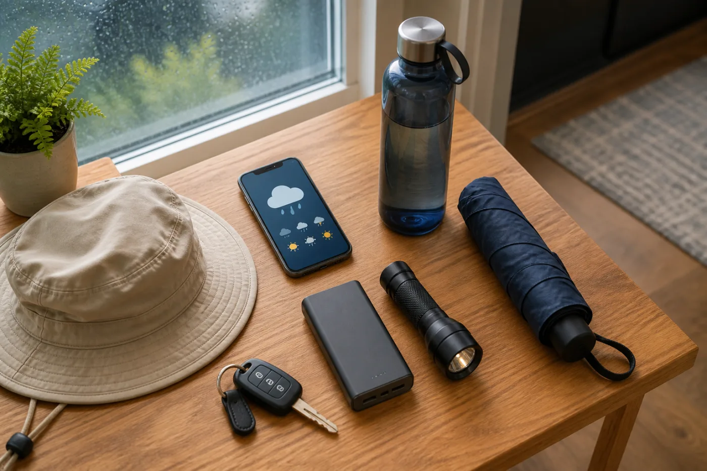
Charge phones and power banks and place flashlights and a battery radio where they are easy to reach. A portable generator must run outdoors at least 20 feet from doors, windows and vents—never in a garage, basement or enclosed porch. If power fails, keep refrigerator doors closed and record the outage start time. Smartor’s food-safety guide after a power outage explains the four-hour and 40°F rules.
6. Refresh the forecast when your activity changes
A morning forecast is a starting point, not an all-day guarantee. Check again before beginning outdoor work, before school dismissal or the evening commute, and before an outdoor game. Enable Wireless Emergency Alerts and location services, and keep a second source such as local public-agency alerts. A social-media screenshot may hide the issue time or expiration, so open the original alert.
How to verify official information
- NWS regional briefing: The NWS Houston/Galveston homepage summarizes the main messages, including the distribution of storms and the range of heat expected across the broader forecast area.
- Your point forecast: Enter a ZIP code at weather.gov. Review the high temperature, heat index, precipitation probability, detailed forecast and generation time.
- Current alerts: Confirm that your county is actually included, whether the product is a Watch or a Warning, and when it expires. Do not assume an alert elsewhere in Texas includes Houston.
- Radar and observations: Radar helps show where showers are moving, but a dry radar image does not remove the heat hazard. If a warning is active, the warning instructions take priority.
- Road conditions: Houston TranStar provides regional incidents, closures, speed information and high-water locations. Public road closures take priority over a navigation app’s estimated arrival time.
A Watch means conditions are favorable for a hazard and it is time to prepare. A Warning means a hazard is occurring or imminent and protective action is needed. Yet the absence of a warning does not reduce routine lightning, heat-exhaustion or wet-road risk to zero. On a day when the official forecast combines scattered storms with a dangerous heat index, basic preparation is the most useful response.
Frequently asked questions
Does a 20% rain chance mean I can leave the umbrella at home?
No-rain is not guaranteed. Houston summer showers can form quickly and remain narrow. A compact umbrella can help between a vehicle and a building, but it is not lightning shelter. For outdoor activities, identifying a substantial building is more important than carrying an umbrella.
Which is correct: a 101°F heat index or the regional 102–108°F outlook?
Both can describe different geographic scales. The 101°F value is from a specific central Houston grid point, while 102 to 108°F describes a range possible in parts of the inland NWS Houston/Galveston forecast area. Prioritize the point forecast and observations for your location while considering hotter conditions along your travel route.
Does rain end the heat risk?
A shower may briefly lower the temperature, but humidity can remain high and heating can resume after the rain. Heat stress already accumulated in the body does not disappear immediately. Continue hydration and cooling breaks, then shift attention to lightning and slippery roads when a storm starts.
I hear thunder but it is not raining. Can I keep walking?
No. Lightning can occur outside the main rain shaft. Go to a substantial building or hard-topped metal vehicle and wait at least 30 minutes after the last thunder before returning outdoors.
Is a car safe during lightning?
A hard-topped metal vehicle with closed windows is safer than being outdoors or under an open shelter. Protection comes from the metal exterior conducting current around the occupants, not from rubber tires. Convertibles, golf carts and motorcycles are not safe lightning shelters, and no vehicle should be parked on a flood-prone low road.
Is Houston under a severe-thunderstorm warning?
The NWS active-alert feed checked at 6 a.m. Eastern time did not show a broad severe-thunderstorm warning for Houston. That can change at any time as storms develop. Do not use this article as a live alert; enter your current location at weather.gov.
How can I tell heat exhaustion from heat stroke?
Heat exhaustion commonly includes heavy sweating, cool or clammy skin, dizziness, headache, nausea and weakness. Confusion, reduced consciousness, seizures or very hot skin should raise concern for heat stroke. Call 911 immediately, begin rapid cooling and do not give drinks to a person who cannot swallow safely.
Which weather app is most accurate?
The source and update time matter more than the app’s brand. Use the original NWS alert for warnings and protective instructions and Houston TranStar for road conditions. Go beyond a single weather icon: verify the location, issuing office, detailed forecast and start and expiration times.
How long will food stay safe if a storm cuts power?
Keep the refrigerator closed and note when power went out. USDA guidance says an unopened refrigerator generally keeps food cold for about four hours, but actual conditions depend on room temperature, appliance performance and how often the door is opened. Use time and temperature rather than smell or taste to decide.
[…] Read this Houston weather safety guide in English → […]