NWS Forecasts New Jersey Coastal Storm, With Snow Possible in Higher Poconos
Smartor 편집팀
November 12, 2026

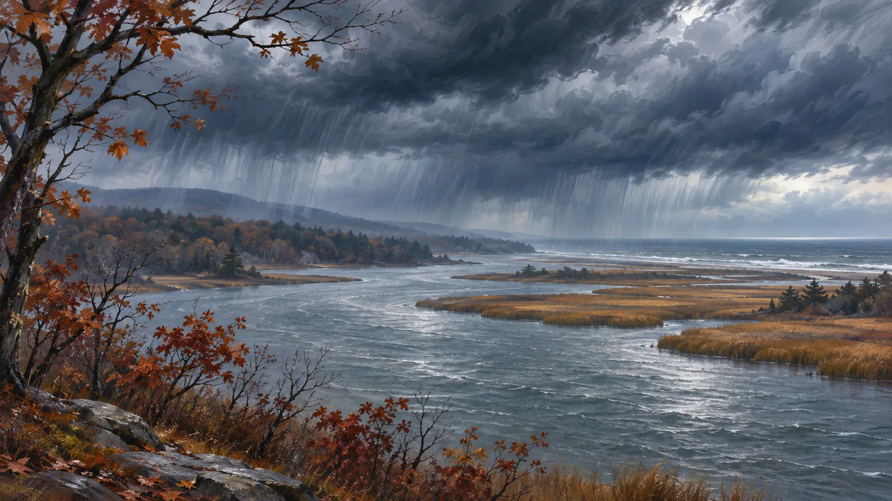
Featured image: AI-generated explanatory illustration of an autumn storm and colder weather in the northeastern United States, not a photograph of actual conditions.
The National Weather Service office in Mount Holly said early November 12 that a storm developing near the New Jersey coast would bring rain to eastern Pennsylvania and New Jersey through November 13, followed by below-normal temperatures into the weekend. Snow is possible at higher elevations of the Pocono Plateau, but any accumulation is expected to remain below one inch.
In its 2:41 a.m. EST forecast discussion, the office said a low moving across the Mid-Atlantic would consolidate offshore near New Jersey later Thursday, then strengthen while tracking north-northeast toward the Canadian Maritimes Friday into Saturday. Most precipitation was expected Thursday afternoon, with locally heavier showers and a possibility of embedded thunderstorms.
Forecast rainfall totals were about 0.50 to 1.25 inches north of the corridor running from the Pennsylvania Turnpike to Interstate 195 in New Jersey. Philadelphia and areas farther south were expected to receive less than 0.50 inches, with less than 0.10 inches in southern Delmarva. Forecasters lowered projected rainfall in southern areas as model guidance shifted the expected low-pressure track somewhat northward.
Colder air was forecast to begin arriving Thursday night and become more established Friday into Friday night. Snow chances were concentrated at higher elevations of the Pocono Plateau. A few wet flakes could mix with rain in elevated parts of the Lehigh Valley and northwestern New Jersey, without accumulation. Most other locations were expected to see rain.

The Morning Call reported Wednesday on the expected Thursday-to-Friday rain and the chance of snowflakes in the southern Poconos, citing the weather service. The updated official discussion early Thursday put any Pocono snowfall accumulation below one inch and said both precipitation totals and the extent of higher-elevation snow remained dependent on the storm’s eventual track.
The weather service issued a Coastal Flood Advisory for New Jersey’s Ocean County from 8 a.m. to 2 p.m. EST Thursday. Minor inundation of low-lying areas and roads was possible around Barnegat Bay during the morning high tide. Tidal flooding was not expected along the tidal Delaware River or Chesapeake Bay.
Northwest winds were expected to bring colder conditions after the storm moved away. Highs Friday and Saturday were forecast to stay in the 40s across many areas, with nighttime temperatures dropping into the 20s to low 30s. Peak gusts could reach about 30 mph Saturday.
Temperatures were forecast to moderate somewhat Sunday through Tuesday, but daytime highs in the upper 40s to low 50s would remain below average for the time of year, the weather service said.
브라우저 메뉴에서 앱 설치 또는 홈 화면에 추가를 선택해 주세요.